|
|
|
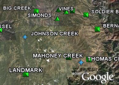
Google Earth downloads for Ada and Canyon counties, Idaho. Google Earth must
first be installed on your computer.
A user account is not needed
for the features on this web page.
|
|
Airports
|
|
Click for larger image.
|
A Google Earth version of Idaho's "Airport Facility Directory". The official
web version
is published by the Idaho Transportation Department, Division of Aeronautics.
Idaho has some of the best backcountry flying anywhere. Google Earth and the
Airport Directory are a great way to plan your next flying adventure!
|
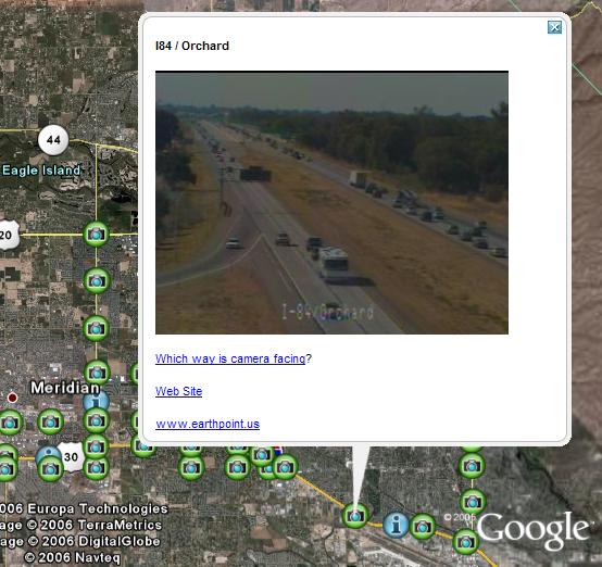
Traffic Cameras
|
|
Click for larger image.
|
Ada County Highway District manages a network of live traffic cameras. The
cameras are placed along the interstate and at major intersections in Boise.
Also, try the Enhanced version.
What is "Enhanced"?
|
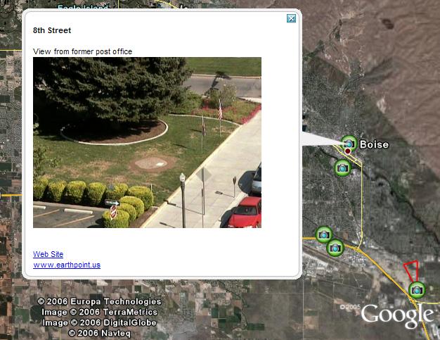
Web Cams
|
|
Click for larger image.
|
Zoom in close to see which way camera is pointing. Bogus Basin (includes map),
I-84 at Snake River, National Weather Service, City of Boise, Dan's Ferry Service,
Nampa Airport, Albertson's College, Boise State University, buildings under construction,
and more.
Optional enhanced format, as for traffic cameras.
|
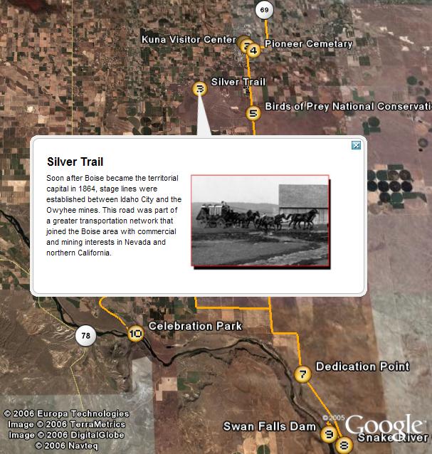
Western Heritage Historic Byway
|
|
Click for larger image.
|
The byway begins near Meridian and extends south to Swan Falls Dam and Celebration
Park. Learn about Idaho's archaeological past and its pioneer history.
Experience Idaho's high desert, wildlife, night sky, and geology.
|
|
|